The Blue Ridge Parkway
Our ride along another one of America’s most famous roads
We woke up that morning, conversing with the family that had so kindly let us spend the night, packed up our belongings, and left. The Blue Ridge Parkway extends from Virginia to the mountains of Western North Carolina. I knew about the road's existence before we left for the trip, and we even crossed paths with it a few times already. At the recommendation of the family who let us spend the night at their house, we figured we would take the scenic and historic Blue Ridge Parkway to the tallest peak east of the Mississippi River.
A “view” from a stop on the Blue Ridge Parkway
The Blue Ridge Parkway, much like Shenandoah National Park and the auto road on top of it, doesn’t exist to make money. Miles upon miles of road wind through the mountains of southern Virginia and North Carolina, with historic old stone bridges passing over the majority of the roads that it comes across. The Blue Ridge Parkway was inspired by Shenandoah National Park itself.
One of the many older stone bridges that you pass through or over on the Blue Ridge Parkway.
After visiting Shenandoah National Park, and driving down “Skyline Drive”, the road that runs throughout the park. President Franklin Delano Roosevelt was inspired to build something similar as part of one of his “New Deal” economic programs. The idea was then proposed to connect the newly created Smoky Mountains National Park to Shenandoah National Park. After a long battle between the states of Tennessee and North Carolina over the path of the road, looking to receive boosts to the economy of their state. The “Tar Heel State” of North Carolina eventually won over the administration through who was the current US Ambassador to Mexico, and who was friends with the President during World War One. Used far less than Shenandoah National Park, and with some sections where there frankly isn’t very much to look at, you can tell simply by being there that some of the existence of this road was nothing more than the political process at work.
A road sign that none of us had ever seen before on the Parkway.
Thankfully, however, where we would be joining the Blue Ridge Parkway would be in what is normally considered to be the most, or the second most scenic portion of the whole road. Now we were all excited to see the beauty of the mountains that we had a sample of the day before, but God had other plans for us. The weather that day, like many of our first handful of days, was downright atrocious. Rain, fog, low hanging clouds, stop me if you’ve heard this before.
Yet another “scenic” view from the Blue Ridge Parkway.
While it was cool to be driving through the low-hanging clouds that were producing rain on all of the areas of lower elevation, it unfortunately took away from the “wow factor” and breathtaking views along this road. The Blue Ridge Parkway being a letdown wasn’t the end of the world for us, as we had other plans that day anyway. Sure, it would’ve been much more memorable if the clouds weren’t as thick as they were that day, but on the lighter side, there were many opportunities to see the clouds up close like we’ve never had the chance to before.
Map of the entire Blue Ridge Parkway.
It wasn’t all doom and gloom, whenever we got low enough in elevation to get under the clouds and fog gathering on the mountaintops, we got some pretty good views!
Mount Mitchell
Our trip up the tallest peak east of the Mississippi River
Now I know that all of the last pictures that you’ve seen are probably some of the most stunning views that you’ve ever seen in your life. Well, the spectacular views of fog, clouds, wind, and rain just continue during this section. We either spoke with or overheard many people at the summit joking about the jaw-dropping views that the mountain had to offer that day. I distinctly remember speaking with an older gentleman who was joking with me about how pointless the trip up there had been. Now sure, there wasn’t much for the cameras to catch up at the summit, but that didn’t matter to us much. This is because we were presently standing at an elevation that we wouldn’t match for the next few weeks at a minimum and that we hadn’t even really been close to throughout the earlier years of our lives.
A picture of a monument built on the summit of Mount Mitchell.
We ate lunch up in a small plaza at the top of the mountain with picnic benches in them. The plaza was walled in with stonework and some small cut-outs in the rocks on the two “short sides” of the rectangular building. The “shelter” hadn’t mattered at all for us that day, as the wind drove a neverending stream of mist from the fog that laid on the mountain onto our bodies and our lunch. The wind combined with the mist had turned the bread from our cold-cut sandwiches into an almost inedible texture, and the four of us were turned cold and wet. The auto road to the top of Mount Mitchell, and the top of the mountain itself was more than worth it, even though the views weren’t as breathtaking as they normally are on a sunny day.
A picture from inside the museum at the top of Mount Mitchell showcasing the history, geography, and wildlife found on the mountain.
A picture of Elias catching up on sleep after the Mount Mitchell visit.
“The Dragon”
Driving the “Tail of the Dragon at Deals Gap”
For any of the automobile/motorcycle enthusiasts that are out there, this one is for you. On what is described by many as “America’s number one sports car and motorcycle road”, we took our van. Now, we let the people who were out in their motorcycles or sports cars pass by us, but even at 25 miles an hour, this road was anxiety-inducing to drive down. There are 318 curves in the 11 miles that the road runs, no roads that join the main road, and corners set at an angle similar to a race track. This road is no laughing matter, between the years of 2020 (which was the quietest year on the dragon in over a decade) and 2021 there were 165 crashes in total. 123 of which involved motorcycles, tragically, over the same period, 9 lives were lost.
A picture of me driving from that same day. (Just pretend like it was on “The Dragon”)
It was inevitable, we needed to take this road today, especially considering where we would be camping later that night. As I drove through the “Tail of the Dragon”, or what we would later refer to as “The Dragon”, I had to pay special attention to the road as there was a noticeable, but small feeling of anxiety inside the car.
A map of “The Dragon” from above. (the yellow road)
A link to a good video taking you through the drive of “The Dragon”.
Smoky Mountain National Park
Some incredible wildlife and we nearly got the van stuck
After our drive down “the dragon”, and climb up the tallest peak east of the Mississippi River, we headed to Smoky Mountain National Park. This National Park straddles the border between North Carolina and Tennesee with roughly each state possessing half of the park. We chose to visit Cades Cove in Smoky Mountain National Park, which gave way to one of the best wildlife encounters on the trip. The weather was still less than ideal, and it looked like some more severe thunderstorms were on the way later that day.
Throughout the trip, I happily accepted the responsibility of navigation. Finding activities for the group, researching our destinations, plugging in relevant information into our GPS, etc. Well, this system had worked without much of a problem to this point, until today. When we got into the park, our cell service was gone, we were used to that. But it wasn’t possible to close out of the last direction and start the next series of directions without cell service. This was the first time that this had happened to us throughout the whole trip.
Now, we had planned on this happening, or the possibility of it. Before we left for the trip, I bought an atlas from Barnes and Noble in case we had to find our way around the old-fashioned way. The problem that we were facing is that we were stuck in the National Park on a minor one way road. We scrambled, trying to find a map anywhere that would make sense inside the park, as we were already two or three hours away from our planned campsite that night.
Thankfully, at the outside of a bathroom in the park, we found a little map, which I rushed out in the rain and took a picture of. This map would be our way out we thought, with this little map serving us better than “letting our ancestors guide us.” Which had been the running joke at the time. Coincidentally, this was also the first place in the park where we had our first encounter with wildlife. Now, admittedly, I didn’t notice them at first, even though they were within ~25 feet of me, because I was so focused on grabbing a picture of the map. But there was a few deer, gathered on the path leading up to the bathrooms. We had seen deer throughout the whole trip, but accidentally stumbling upon, and then getting so close to deer was a unique experience.
Above is an image of the map that we had to twist our heads and use for navigation that day, we tried to take “Parson Branch Road”, which would’ve put us within miles of our campsite, instead, we had to drive around the whole park.
A picture of the deer that we accidentally came within feet of.
With the rain still coming down in buckets, a new sense of direction, and confidence that we would be able to get to camp and eat in a reasonable timeframe; we continued on the one-way loop through the section of the park that we would tour. But the smooth, slow, and steady drive down the muddy dirt road in the rain quickly turned into traffic, nearly standstill traffic. Memories of being stuck on the Zakim Bridge and surrounding infrastructure back home flashed before my eyes, as we sat there in Rural Tennessee in nearly standstill traffic. I remember being beyond confused, making jokes to the others, confused about how they found enough cars to build a traffic jam in a national park on a weekday in the rain.
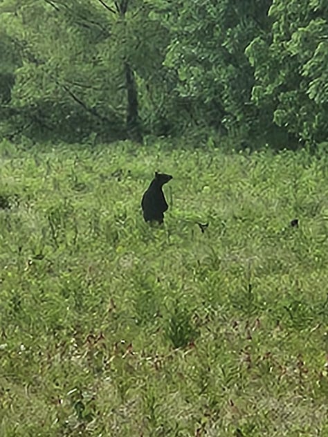
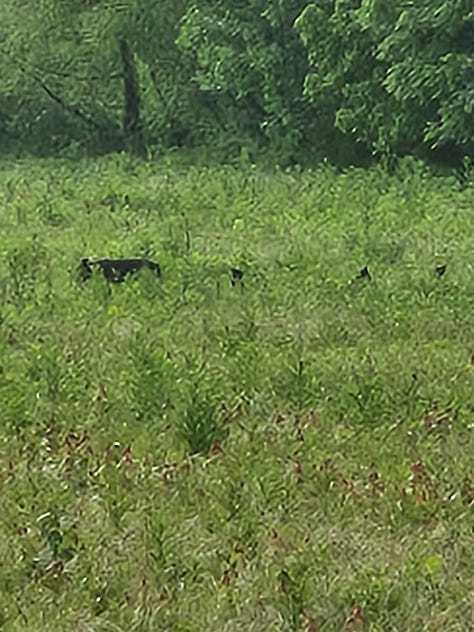
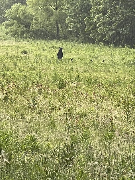
Very soon though, why there had been so much traffic in front of us quickly became clear. People lined the roads on either side, out taking pictures and looking into the large field on our left. To our left was a bear, and three cubs. Never before in any of our lives had we seen bear cubs “in the flesh.” Now these cubs and what was probably its mother were a good distance out into the field, which was how you normally like to see bears in person. But the pictures that they appear in look incredible in my humble opinion. After our encounter with the deer, followed by an encounter with a bear and her cubs, I really felt blessed, truly blessed not just to be on this trip, but to be able to see wildlife that many others may never have the opportunity to see throughout their lives.


Going off of the small picture of the map we found near a bathroom on my phone that we had to tilt our heads to view, and our increasingly hungry stomachs. We prepared ourselves to take a one-way road to our planned campsite on Lake Santeetlah later that night. Now, this road had a sign before we started driving down it declaring that you needed four-wheel drive and a high clearance vehicle. Either because we were hungry, overconfident, or maybe a combination of both, we started our drive in a van more suited for a “soccer mom” than all-terrain driving. We drove over a few bridges, then came the first hill. It wasn’t ideal, as it was still raining after all, but the muddy road was at a steep grade with rocks and deep ruts running throughout it. But we’ve driven on dirt roads before, we obviously knew what we were doing, and kept driving. Slowly, losing traction multiple times, we successfully climbed up the first hill, and immediately were met with another one. This hill was steeper, had larger rocks, and was a huge morale killer after struggling to climb the first hill.
Two pictures from two of the different flooding creeks/rivers that we drove over on our brief stint on the one-way road.
The decision now needed to be made, was it a good idea to drive back the wrong way down a thin one-way dirt road, hope that we make it back to the main park road, and then be forced to get back to camp in multiple hours on empty stomachs, or, drive on with potentially worse obstacles ahead. We did the reasonable thing in the scenario we found ourselves in and drove very carefully down the wrong way on a one-way road. Thankfully, we didn’t run into any other vehicles and got back to the main park road.
A picture of a rainbow above the van after the rain stopped.
A picture from a clearing inside Smoky Mountain National Park after the rain cleared.
A picture of the sunset in the Tenessee foothills looking out West at clear skies ahead.
After a long drive home, and a stop in at the “Tail of the Dragon” establishment to get a picture of the famed “Tree of Shame”, we got into camp at Lake Santeetlah, the second cleanest lake in North Carolina, right around midnight. That night, for the first time, we had cooked stew-cut steak in over a stick of butter and poured it over cups of instant mashed potatoes gifted to us by a close friend of Dylan. Now, this was one of my favorite days from the whole trip, and thank you again to my Grandmother’s niece, Pam, for making this whole day possible.
A picture of the “tree of shame” where the wreckage of bikes gets hung up after failing to drive down “The Tail of the Dragon”.
A map of each state we visited by the end of day eight.
A map of the distance between Mary Ann’s in downtown Derry to where we ended the night on Lake Santeetlah.
A mostly accurate map of the path that we took on this day, with the Blue Ridge Parkway being closed due to damage from Hurricane Helene, so I added a highly scientific modification to the picture.
Outtakes
I don’t even know what to put here
So after the trip, we all went through the effort of dumping our whole camera rolls from this trip onto one collective Google Drive for all of us to use. I found these two videos, recorded at the Summit of Mount Mitchell, and had no idea where to put them. Now not even half of the images from most days don’t make the final cut of being put in the blog, but I really wanted to showcase what I could only describe as some of the most “eccentric” behaviour I’ve ever witnessed.
No idea what is even happening here, and I won’t pretend like I could even begin to make sense of it.


I think it's pretty obvious what was happening in the videos.
Wow so cool!